

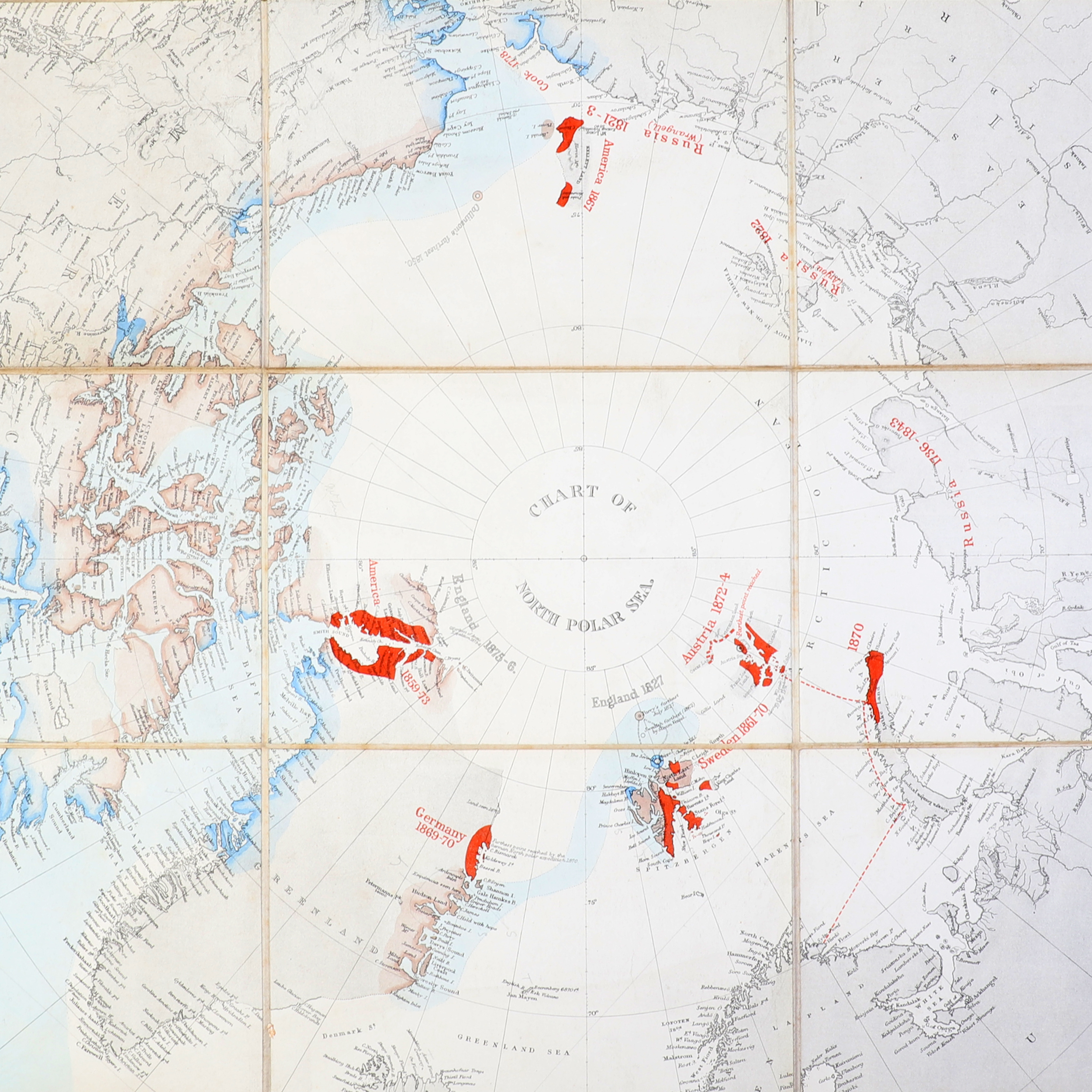
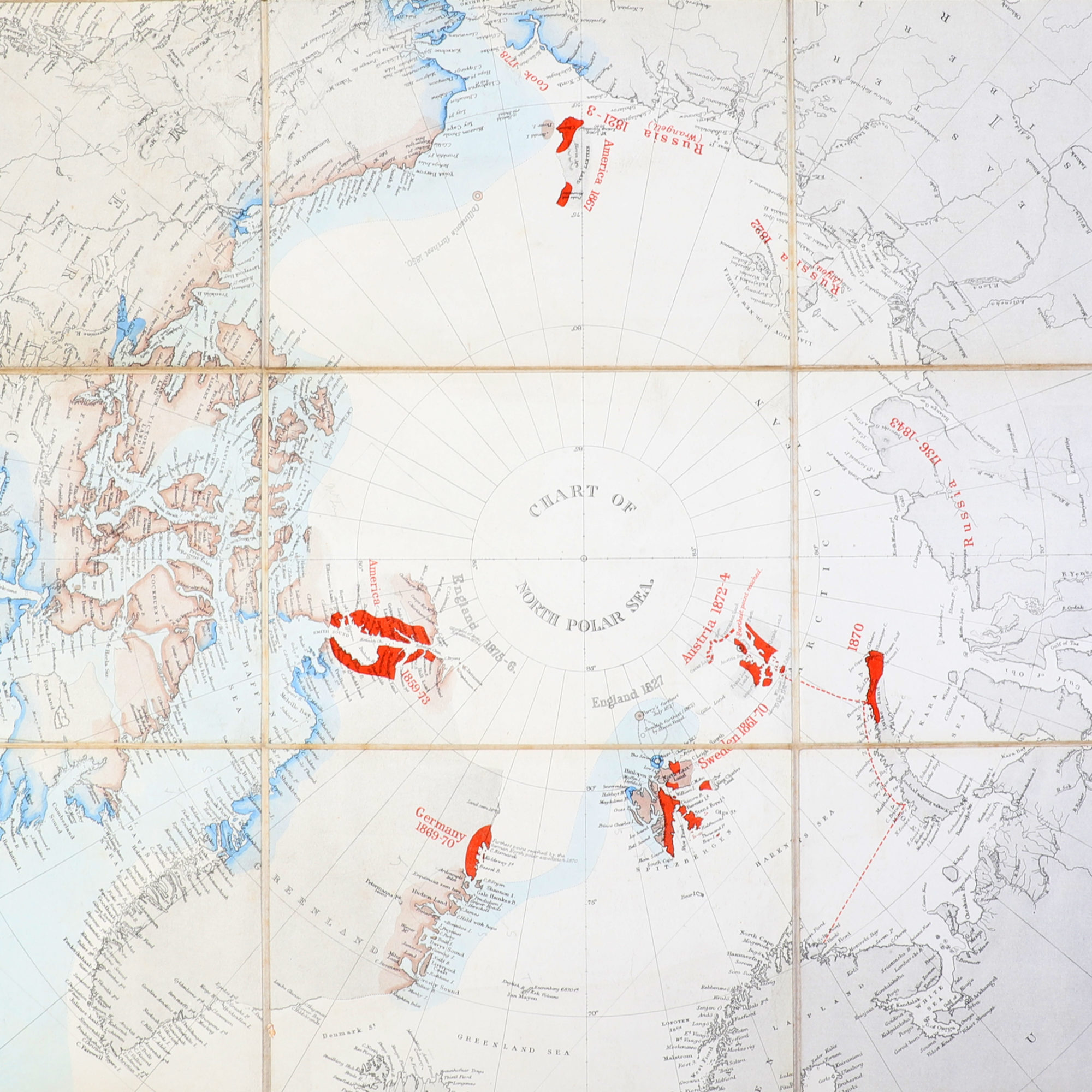

Chart of North Polar Sea.
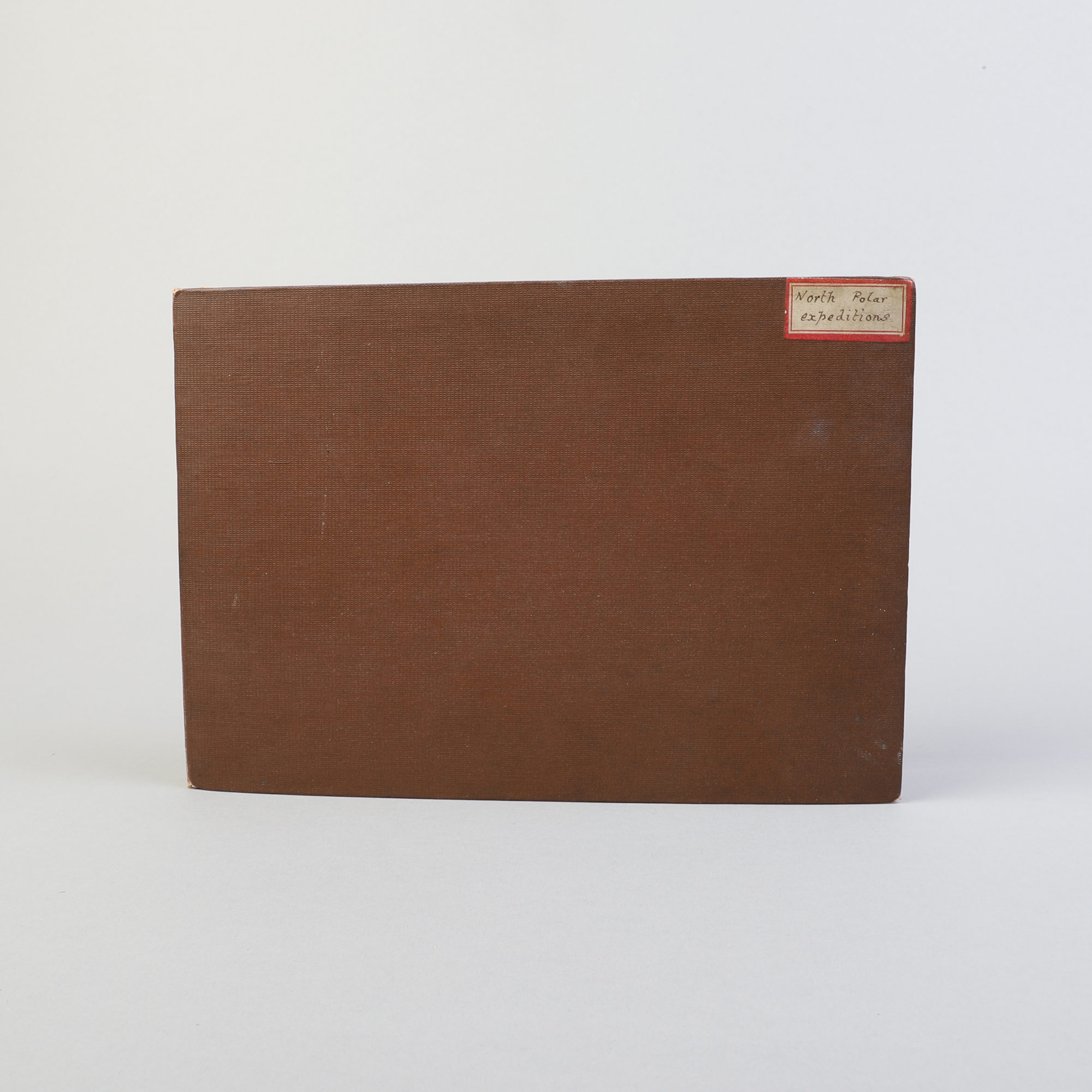
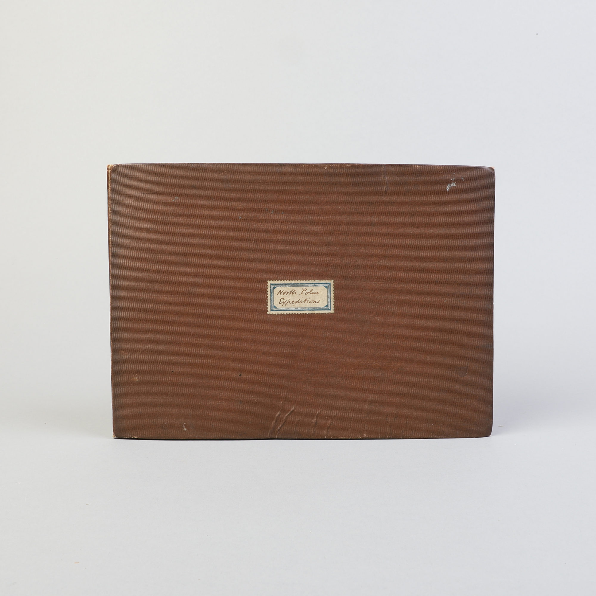
In brown cloth with small red and blue framed labels: «North Polar Expeditions». Map mounted on canvas.
Published by the Hydrographic Office. App. 1876. Measure: 65x70cm.
In very good condition.
First issued in 1855, then updated several times with the latest expeditions.
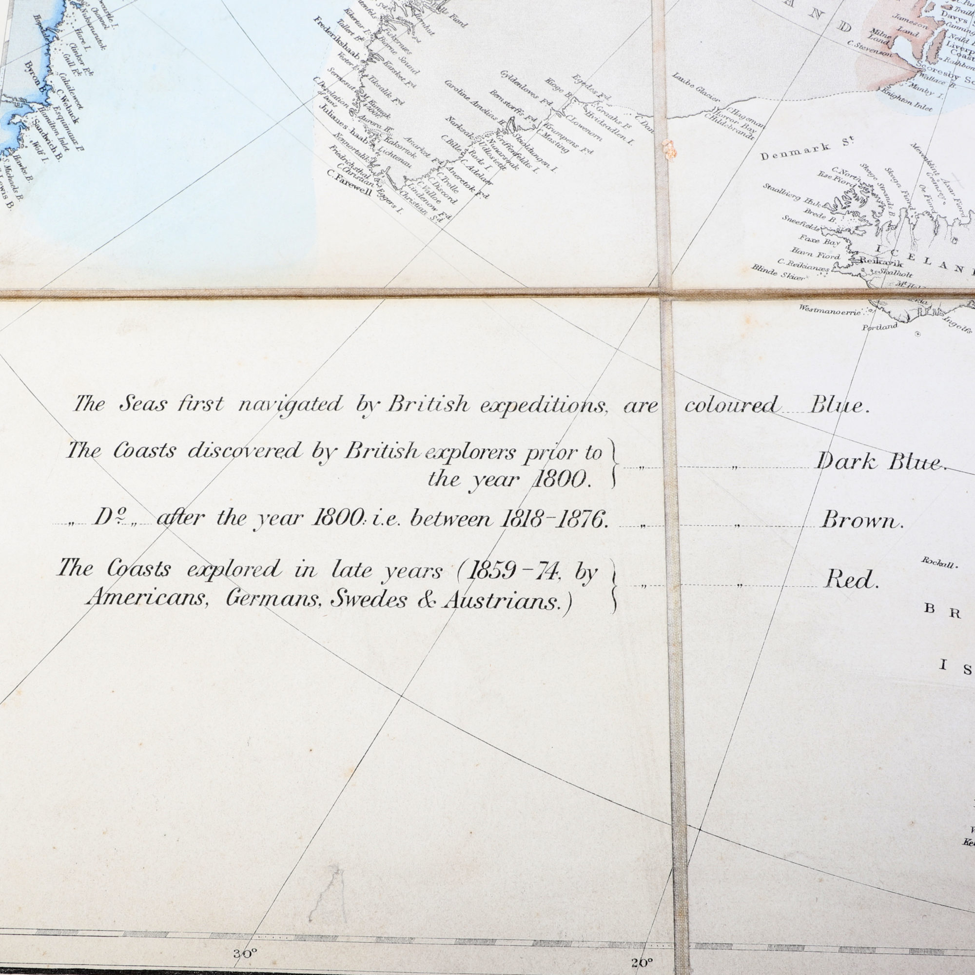
The most recent update on this map is «The Seas first navigated by British expeditions after the year 1800 i.e. between 1818-1876.»
See photos for the countries and expeditions detailed.